


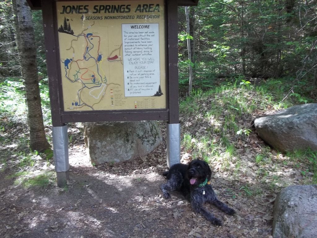
Trip Report: Jones Spring Area in the Chequamegon-Nicolet National Forest from May 30 - June 3 2015.
Getting there.
Headed up for this trip late morning on Saturday in pouring rain. As I drove north the wind and rain continued to get worse. The rain was so heavy that even with the wipers on high everything was a blurr. As my truck was being buffeted from side to side by heavy winds I was wondering just what I had gotten myself into. While pondering this one of my windshield wipers was blown completely off. Fortunately the next off ramp wasn't too far down the highway. I drove until I found a place to buy a new wiper. Back on the road! A while later, as I was leaving Green Bay on Highway 29 the rain started letting up. Not far up Highway 32 the rain stopped and the sun came out. We were through the worst of it. My spirits soared!
Drove on up to the Lakewood Ranger Station having in my eagerness to hit the trail forgotten they are closed on weekends. Oh well. Picked up some maps and brochures, admired their taxidermy mounts, then stretched me and my pup's legs a bit. Now, off to acquire an annual NF sticker. A text from Goobie let me know that Parkside in Mountain sells NF stickers and the trail to the Adirondack shelter is flooded. One problem at a time. So I drove up and down Mountain looking for anything that said "Parkside". Not a large town and yet, nada.
Swallowing my pride, I stopped at a gas station and asked for directions. Well, it turns out that "Parkside Service Station - Mountain" is the BP gas station on the west side of Hwy 32 just north of Hwy W in the town of Mountain and they do sell NF stickers. Ok, sticker on windshield, we're good to go!
Finally arrived at the Fanny Lake trailhead. Not seeing any sign of anyone from HF at the trailhead, I rucked up and headed out. Met some campers along the way who echoed Goobie's report that the bridge across Mary Creek was flooded. They said they had rolled up their pants and found that the water was knee deep. They also stated that while the trail was mucky it was doable and they had lunch there today.
The Trail Beckons.
At this point I knew I'd be hanging solo as usual. Since the planned on route was flooded and there was only about four hours of daylight left, I figured it was best to find an alternate site. One must always be ready to surf what Nature dishes out. Fighting it always makes for a bad trip and can even become life threatening. Has for me more times than I care to remember.
Eva waiting for me to decide on our route.
I well know how long it can take to find a suitable spot to camp in the northwoods so four hours to me is time to get a move on! Checked the topos for the highest (and hopefully driest!!) spot to hang in. I decided the hills north and west of Fanny Lake looked worth trying. It took a couple hours to find a suitable spot. When the FS said we can camp "anywhere" I think they were secretly laughing at us. Finding appropriately sized trees a suitable distance apart is easy. This is a forest after all! However, the trick is finding a spot that lacks the following: heavy brush, widowmakers or abundant insects. THAT is nearly impossible.
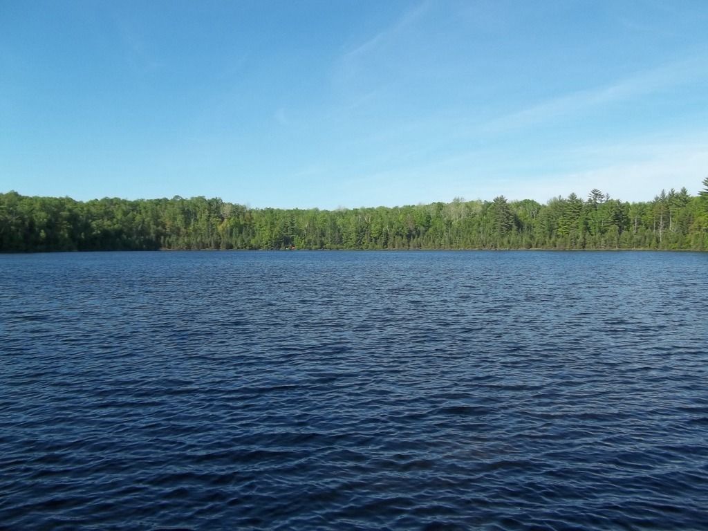
Finally found a site that I considered to be good enough. Debated briefly about calling it a day after the nerve wracking drive up. Nah! Too eager to explore. Having already accomplished the very difficult (driving up in those conditions) and nearly impossible (finding a spot to hang at that met all of my criteria) so far today, I felt up for a hike. I followed the Red Loop up to the Jones Spring Impoundment and back. Was interesting to see wolf scat of varying ages along the trail. Better yet, ruffed grouse were drumming in the forest and flushing at our approach. My Drahthaar was very interested!! There were hills but not too many nor too steep. The woods were thick and varied from mixed birch and fir to red pine to mixed hardwoods and back again. Typical northwoods.
Typical Northwoods.


 Reply With Quote


Bookmarks