


Fall is my favorite time of the year. Cool weather. Gorgeous colors. The perfect time to hike. So this year, when my school district offered the first Fall Break in the 8 years Ive worked here, I had solid plans to head back down to the Pinhoti Trail which I began section hiking in March.
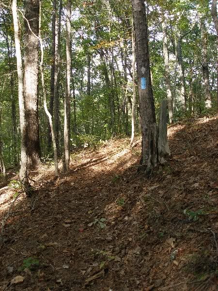
I stepped off at 431 Trailhead near Anniston on Wednesday afternoon. The trail, and its blue blazes, seemed happy to meet me.
In the first couple of miles, I cruised past one brushy section and noticed some leaf litter and grit on my left arm. A couple of minutes late, my arm began to burn a bit and glanced down to notice the tiny bits of grit were moving. As I brushed off the tiny ants, I thought Welcome back to Alabama.
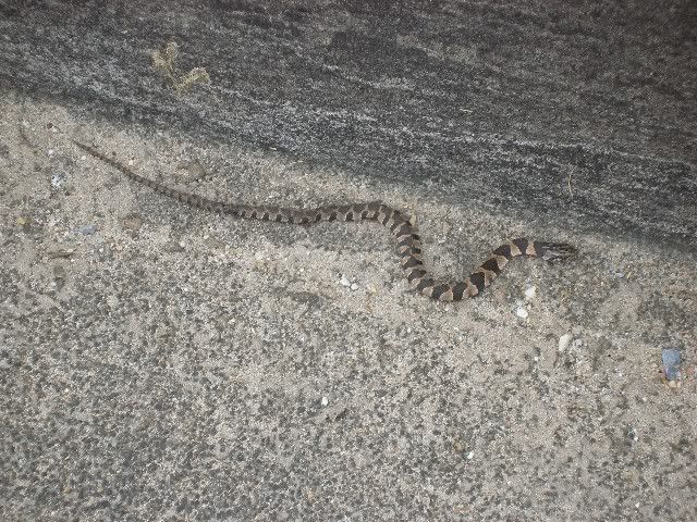
I pushed along at a decent pace and after about 4 miles arrived at the Talladega Skyway Scenic Drive. This short stretch of road serves as the overpass above I-20. As I looked down at the traffic, I noticed a small snake, looking very out of place.
I gave him his space and moved on.
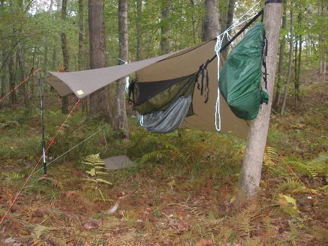
A mile and a half later, I reached Rio Grande Campsite and set up my hammock and gear for the night.
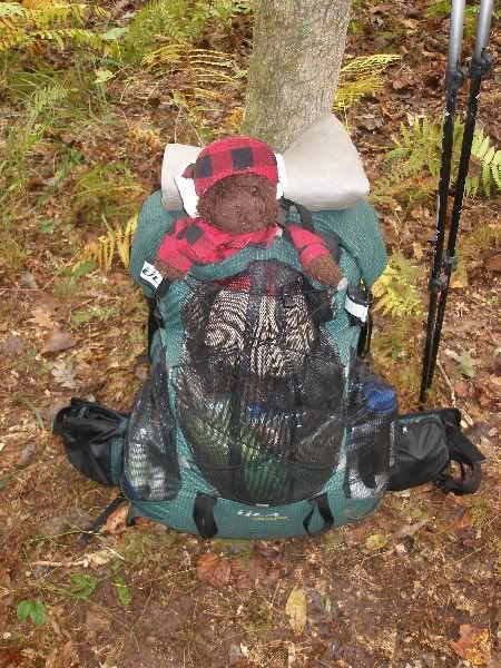
Afterward, I crawled into my hammock for the night with Dewey Bear and read The Thousand Mile Summer by Colin Fletcher, a fantastic book to enjoy while hiking.
Then I packed up and Dewey and I were ready to go around 9 AM.
We pushed onward and soon reached a large open area south of AL-281.
Id read about many blowdowns in the area back in May, but the PT maintainers have left this area perfectly clear.
Another mile or so up the trail brought me to Indian Cave, a spot which would make a beautiful stop in a rain, but which seemed a bit more damp than I wanted to deal with.
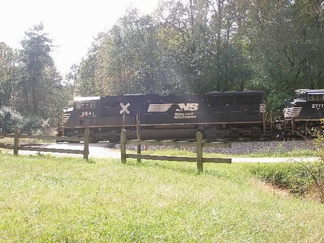
A couple of miles up the trail, I stopped for an early lunch at FS500s Trailhead, where a picnic table provided a great place to sit and relax and watch a train of 78 cars roll by.
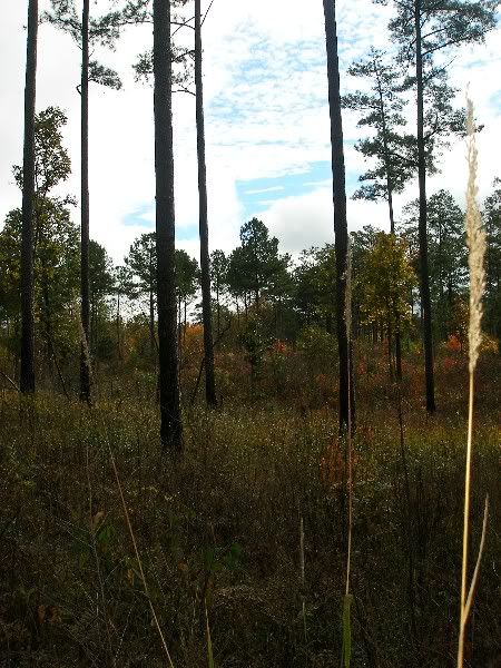
As I pushed my way up the ridgeline of Brymer Mountain, I enjoyed another break at Birds in the Pines Campsite, and I enjoyed how the area of tall pines left open views off to the west in many places.
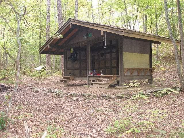
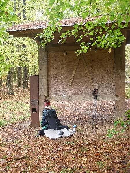
On FS523, I stopped and chatted with a couple of local deer hunters (muzzle-loading season is open, but not modern rifle) and headed on up trail. A little after three, I arrived at Lower Shoal Shelter.
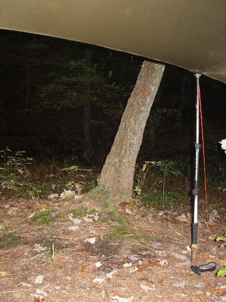
As the sun set, I retired to my hammock for more reading as I enjoyed the view from the front porch of my raised tarp.
Throughout the night, I heard what sounded like an occasional sprinkle of rain. It turned out the next morning that all I had heard was pine needles hitting the tarp. I was happy since weather reports indicated rain was to begin Thursday night and continue on through most, if not all, of Friday.
I packed up and stepped off just a bit after 8 AM. Within five minutes of walking, the first drops of rain fell. Within 20 minutes, they turned into thunderstorms with wind and substantial rain. Still, in the humid conditions in the upper 60s, I knew I would sweat severely in any raingear, so I simply donned a pack cover and wandered on.
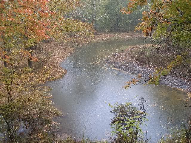
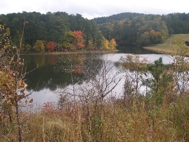
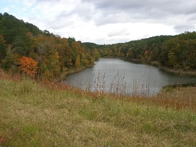
The rain dropped off enough I could chance a picture as I passed above High Rock Lake, the first of several I would pass in the next two days.
I continued on along Shoal Creek, a novelty which would have been truly pleasant in sunny weather. After 6 miles without a rest (due to the insistent rain), I stopped at Pine Glen Campground. I found a spot to drop my gear and sit beneath the broad overhead awning of an information board.
I looked around for water sources. The bathroom area was pits only and of the three spigots I tried, none were flowing, so I drew from the creek and returned for a protein bar under the awning. As I sat there, the rain dropped off to a tiny trickle.
I stepped off to overcast, but dry skies 15 minutes later. As I headed past Sweetwater Lake, I marveled at how much fall colors seemed to have brightened just in the last couple of days of hiking.
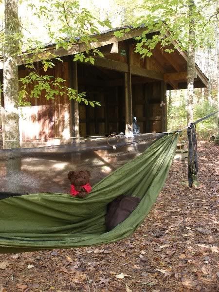
By the time I arrived at Laurel Shelter around 2 PM, the sun was peeking out from the clouds. I cooked at late lunch, tired and sore, then changed into dry clothes and took a nap in my hammock. It was wonderful to relax in the afternoon 70 degree weather, no underquilt or tarp required.
Dinner followed, and more reading and relaxing as I looked up through the trees. I took a chance by not setting up the tarp as the sun had shone down on me, and now stars blinked above me. Throughout the night, I slept more and more snug as the cloudless sky let the temperatures drop down to the upper 40s.
The next morning, I finished breakfast and final cleanup. To my surprise, there was still a bit of fuel left in my canister. I was a bit upset because I had lugged another new canister for the trip, assuming the half-used can would never last the whole time on three hot meals a day. I decided to let the old canister burn out, taking another three or four minutes.
This days hike would prove to be some of the most pleasant of the Pinhoti Trail so far. It started out with Shoal Creek Church, one of only six log cabin-style churches left in Alabama.

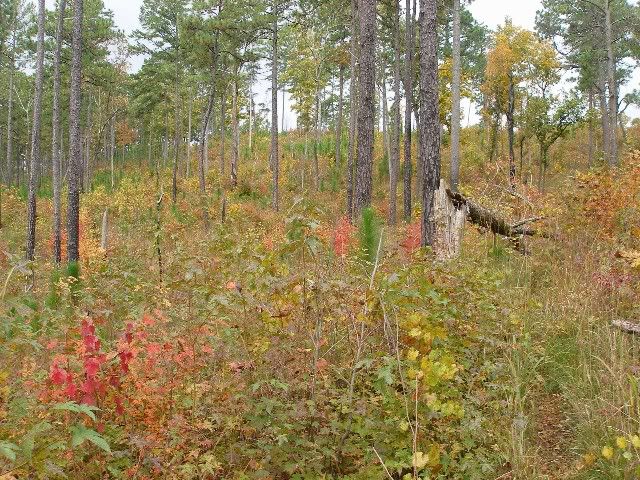
Continuing on, Coleman Lake offered more fall colors, but this was mild compared to the surprise of the Woodpecker Farm as it was labeled on my map. This area consists of tall widely spaced pines with a carpet of brilliantly colored bushes, shrubs, and saplings.
The sky even opened up a bit, offering a tease of blue above.
I left the Woodpecker Farm a bit sad for leaving, but thoroughly satisfied for the experience.
Afterward, I headed down into Chipmunk Canyon, a 3-mile stretch of almost perfectly level walk along a creek. The area abounds with good campsites, and one made for an excellent lunch stop with water nearby. Along the way, I encountered a group of seven stoking up a smoky lunch time fire. They were the only hikers I have met on the Pinhoti since my section hikes began in March.
The short climb uphill from Chipmunk Canyon led me to the open grassy berm above Choccolocco Lake. Its headwater flowed out a massive pipe on the other side. The view from atop the berm confirmed that autumn was here.
On the far end of the berm, I took the left down to Choccolocco Shelter. It was very similar to both Lower Shoal and Laurel Shelters, but with a wider cooking shelf to compensate for no picnic table. There was no good camping right next to the shelter, but a hundred yards down the hill, there was plenty of decent spots. I grabbed a quick snack here, and prepared to head out.
The last mile and a half went quickly. I backtracked to the berm and headed up the Pinhoti. The trail got a bit narrow here, but I was moving with a purpose to County Road 55 and my ride home. I crossed the road and looked 200 yards down to where I could see the sign that I thought would mark Burns Trailhead. But in the end, I headed another .1 miles up the Pinhoti to the side trail down to Burns. My wife had just pulled in as I broke into the clearing with a couple of old farm buildings. She snapped a picture of me at the sign which marked the beginning of the Dugger Mountain Wilderness which I will enter when I finish the Alabama Pinhoti in December.


 Reply With Quote
Bookmarks