


Thursday, June 3, 2010
This was a day that will officially go down as one when I got my butt whooped. My first day on a long hike is often rough, but this one will always be a standout.
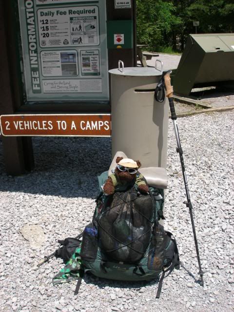
I had spent the previous week very busy closing down the school year, making multiple 4-hour round trips to Chattanooga for job interviews, and finalizing tons of details for this and other trips for the summer. The result was that I was tired and a bit strung out when I got up early and began the 5-hour drive to Deals Gap, where I was to stage my truck and meet my ride. From there, I got a 2-hour shuttle from Cool Breeze down to Thunder Rock Campground on the Ocoee River, the site where I finished my 92-mile BMT hike from Springer in 2005.
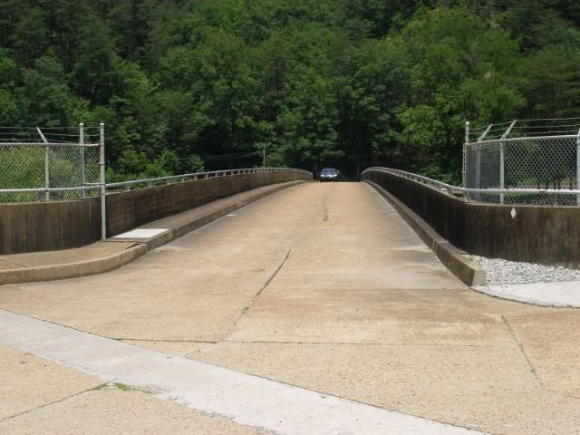
I noted two important items as I got ready to step off a little after 2 PM. One, I was tired and kind of sleepy already. And two, it was just plain cooking hot as I stepped across the exposed bridge over the Ocoee.
I suspected the temp to drop dramatically as I stepped into the treeline on the far side of US64. Unfortunately, the sun was high enough and the trees spread just enough that I caught a LOT of sun while hiking. My thermometer read high 80s, but this didnt account for the stifling humidity that was out as well. The first 4 miles was a gradual 1700 foot climb, but within a half mile I had decided to hang my hammock and take a nap while the worst of the heat passed.
Unfortunately, it was still plenty warm when I stepped off a little after four. I quickly downed much of my 2 ½ quarts of water I began with. As I climbed, I found myself stopping more and more often. I began to feel a bit dizzy, and my stomach was starting to rumble with nausea. I knew these signs of dehydration were the start of a bad situation. As I neared the summit of my climb, my legs were about done. I started to suffer from chills, an ominous sign.
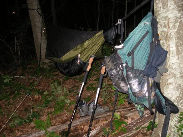
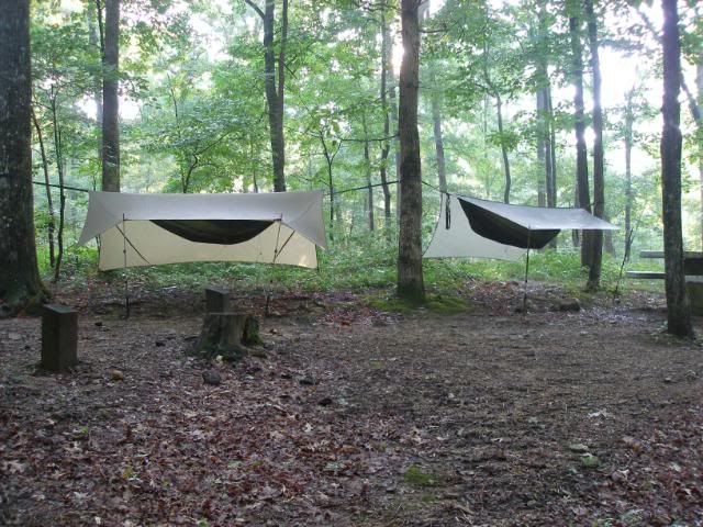
I took stock of my situation. It was about 7 PM and the nearest water was still a good four miles away. I had about 6 ounces of water. I needed to cool down badly. I knew I could make it much more easily in the morning after a proper rest. So I hung my hammock and settled in for the night.
Friday, June 4, 2010
I awoke around 3 AM to a cramp in my right calf. While I was massaging it loose, I cramped in my left calf. The day was starting off great. But I was able to go back to sleep until around 5:30. I got up a bit before daylight, much better rested, and took off in the cooler morning air.
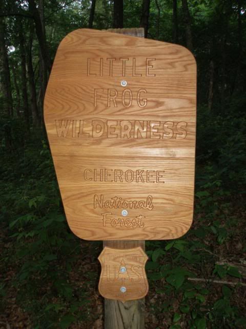
I began the downhill quickly and left the Little Frog Wilderness, which had kicked my tail so severely.
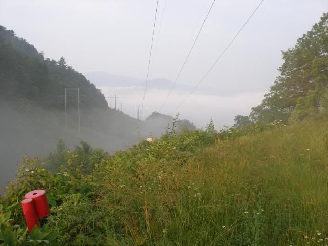
I encountered a lake of clouds below at Deep Gap.
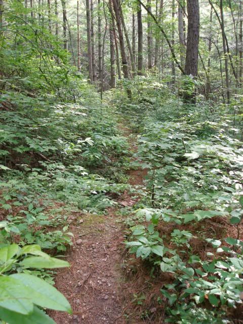
After 4 miles, the water of Piney Flats Branch was heaven-sent. I drank two quarts, enjoyed a casual breakfast, and prepared to hike the remaining 10 miles planned for the day. The trail was the typical narrow tread of the BMT.
But the route was mild in elevation change and I made excellent time. There were many water sources along the way and I stopped for lunch around noon at Lost Creek Campground. As I finished lunch, a thunderstorm blew in. I headed to the privy for a much-needed sit-down, and most of the storm blew itself out in the 10 minutes I sat there and looked over my guidebook and map.
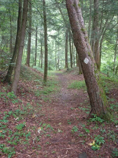
I headed out and immediately joined a wide flat section of trail that used to be an old rail bed. For 2 ½ miles, I enjoyed a very gentle stroll.
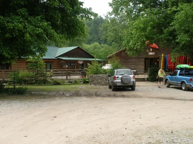
After one list short up-hill grunt, I then descended to the Hiwassee River and Hiwassee Outfitters.
This was my stop for the night (or so I thought). I had a mail drop waiting here, and went inside to pick it up and get a campsite for the night. It turned out that the entire campground was rented out for the weekend to a canoe school. I had no place to stay. I had intended to call my wife and take a zero-mile day here, but there was no public telephone available. The hits just kept on coming.
I headed up the road to Webbs General and assessed my situation. Black Bear Cove Resort offered campsites for $32 a night. The place was five miles up Highway 68. I tried calling for a shuttle while I was at Webbs, but I simply got an answering machine. So I stuck my thumb out and my luck began to change. I got an almost immediate ride.
Black Bear Cove was a bit expensive to camp, but they let me use their phone to call my wife, who agreed to come down for the weekend. I was going to move my truck down to Green Cove and shorten the trip by about 30 miles. The RV offered no decent trees to hammock, but I was able to easily go to ground with my tarp.
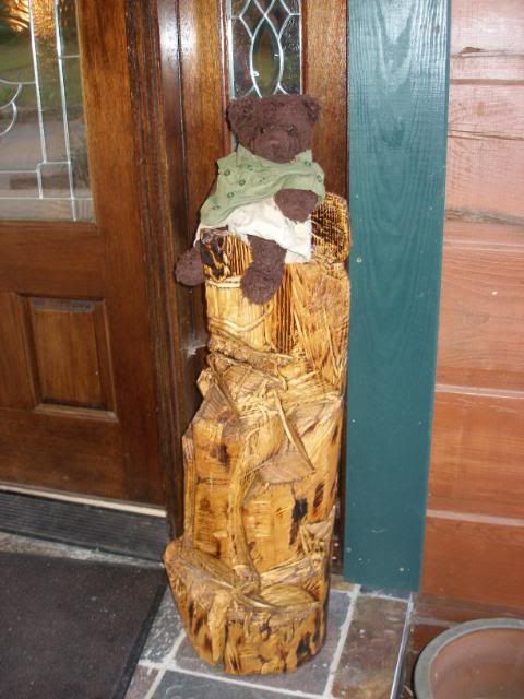
I showered, and enjoyed the pool, a real luxury. Then I ambled back up to the lodge and restaurant. Dewey said he approved of the bear carving at the front.
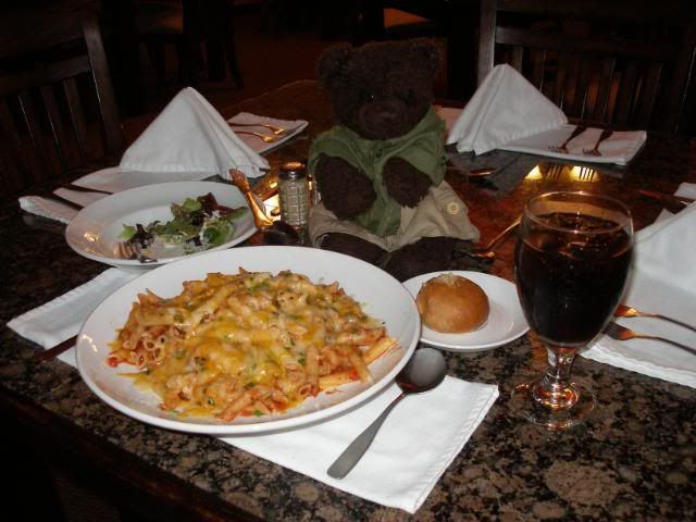
Dinner was an incredibly hearty portion of pasta with salad and bread for about $12. Dewey was stunned when I asked for a to-go box.
About 10:30 PM, my wife arrived in the midst of thunderstorm. Nonetheless, my trip was looking up.
Saturday, June 5, 2010
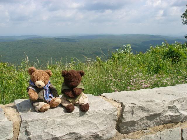
My wife and I packed up and headed up to Deals Gap to pick up my truck. Cherohala Skyway offered great views and a relaxing drive for us. Dewey and his buddy Orville enjoyed this very much.
As we arrived at Deals Gap, I was especially glad to have changed my plans. Though there was nothing to indicate any illegal parking, and I have been careful to not block the gate to the forest road that was the BMT, my truck was marked with an orange abandoned vehicle tag. This was from Thursday. If I had not moved the vehicle by Saturday evening, it would have been towed. I was very glad for the chance to move it now.
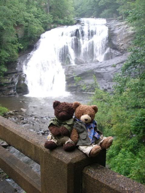
I then headed back down to Cherohala Skyway and staged my vehicle where the BMT crosses Tellico River Road at Green Cove. I would arrive back here at the end of my new itinerary. On the way out, we enjoyed the power of Bald River Falls.
We then headed on to the Copper Inn in Ducktown to rest for the evening.
Sunday, June 6, 2010
We slept in and relaxed while we decided what to do for the day. We began by heading to the Ocoee Whitewater Center. We considered a short rafting trip, but after watching a number of guided rafts wiped out in the Olympic stretch of the Ocoee, we decided for a more laid-back option. He headed up the slower Hiwassee and rented a couple of tubes to float 4 miles back to the outfitter.
Afterward, my wife and I headed up the BMT, which now ran concurrently with the 20-mile John Muir Trail. Within a quarter mile, we found a good site to hang. I began to set up as my wife headed home. Just as I had set up and crawled in, a major thunderstorm set in. About 15 minutes later, my wife returned and said she wasnt driving back in the series of storms which were supposed to continue until early morning. I packed up and we headed a few miles up the road to Quinn Springs campground, where we stayed for the night.
The couple of days offs had done me a ton of good, and I was ready to pick back up with my BMT hike in the morning.


 Reply With Quote


Bookmarks