


Saturday, May 28, 2011
I hiked about half of the Sheltowee Trace in June 2007, mostly as a warmup for trips out west. The trail had been somewhat unforgiving, with the northernmost section wiped out with blowdowns from ice storms, many sections heavily overgrown, lots of road walk, and some pretty questionable navigation due to a dearth of decent maps. I got off the trail with a not-so-fond attitude toward Kentuckys long trail.
This summer I wanted to give the trail another chance. I had heard much about the trail being better maintained, and a new guidebook and accurate topo maps of the southern half offered the hope of a better trip. So I made plans and promised myself that if the trail wasnt noticeably improved, I was going to hike elsewhere. My trip lasted about 45 miles.
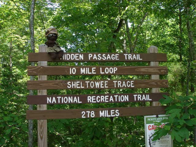
Around 2 PM, I stepped off at the Sheltowees southern terminus in Pickett Rustic State Park in Tennessee. Dewey added a touch of class to the only place in the entire park where the ST is actually noted.
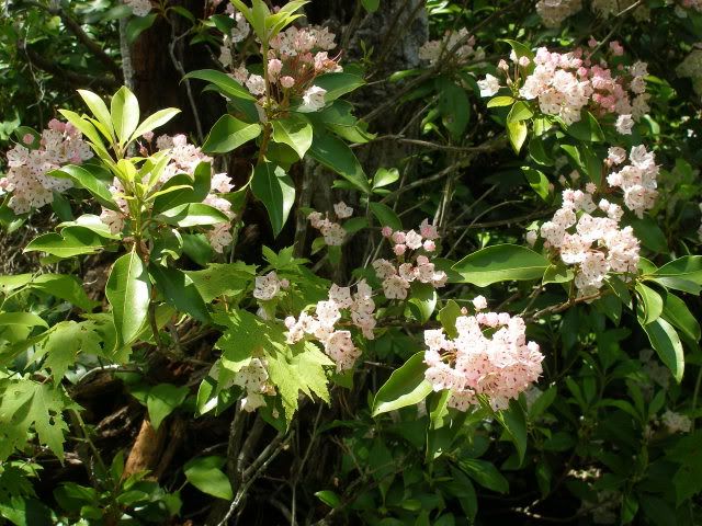
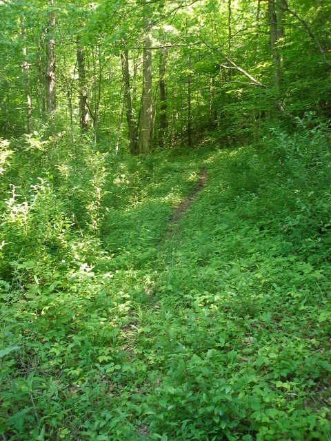
Now Pickett has a track record of horrible trail maintenance, so I was ready for blowdowns and brush. In two previous trips on the ST and John Muir Trail, the brush got worse and worse the closer one got to Big South Fork National River and Recreation Area. But I was pleasantly surprised to find good trail and rhododendron blossoms welcoming me to Pickett.
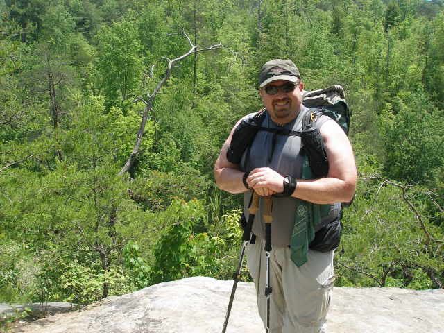
The trail wandered under numerous massive rock houses and overhangs. It was cool underneath, and I was happy to avoid the heat and humidity. I ran into the only other hikers of my entire hike near an overlook. They snapped a quick picture of me as I began to swear profusely and think how nice it would be to get back into some shade.
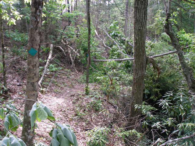
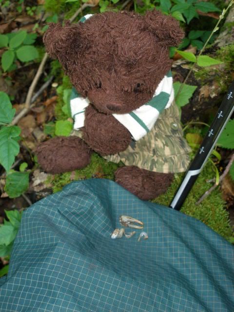
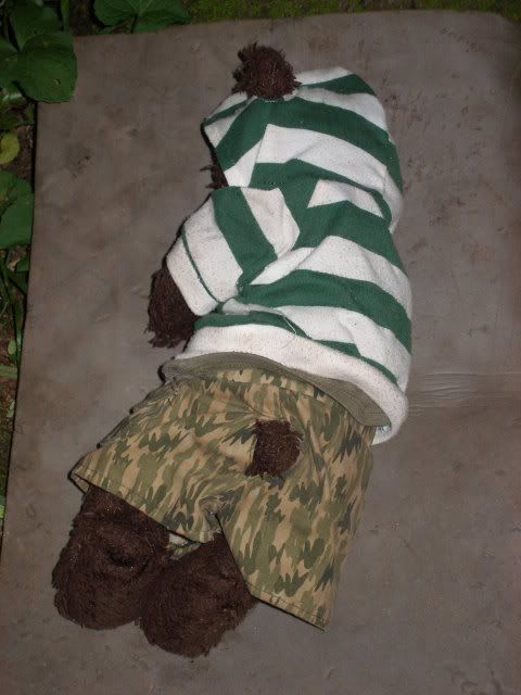
Shortly after, I hit the first large section of blowdowns. In true Pickett fashion, they formed a wall that took great ingenuity and energy to work through. Over the next couple of miles, I would hit still more brush and blowdowns. Along the way, I tore my pants and Dewey Bear lost his hat and sunglasses. It was a pretty frustrating start, though one I predicted.
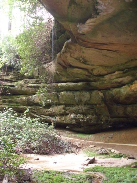
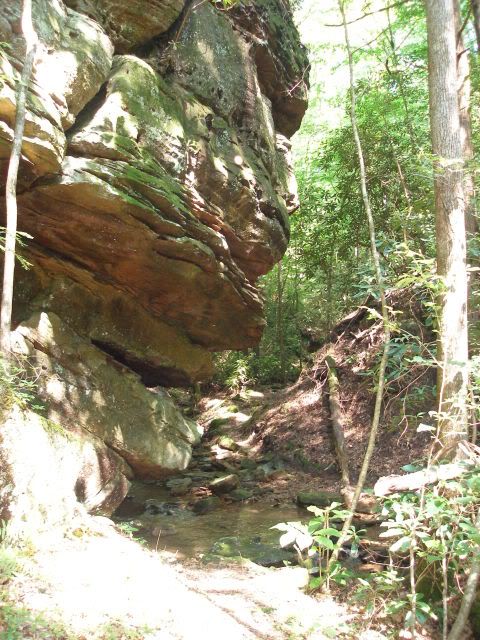
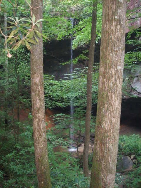
We stopped for a short break in the cool of a rockhouse, complete with waterfall.
Then we pushed on, reaching the mambajahamba of blowdowns, which looked new, perhaps due to the series of intense tornadoes and storms from the first of May.
The afternoon heat was dissipating as we worked our way through the last bits of brush and the couple of stream crossings into Big South Fork.
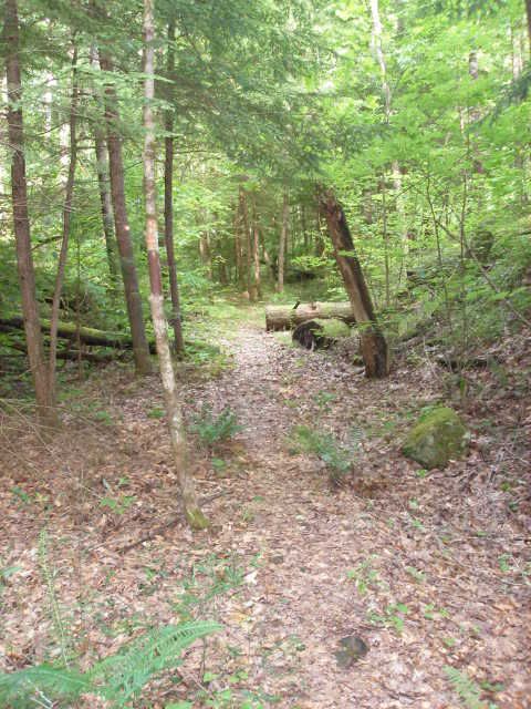
As expected, the quality of trail immediately improved.
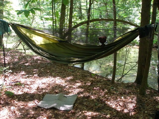
Dewey Bear happily flipped the paw at Pickett, and we pushed on another couple of miles. I was exhausted, both from bushwhacking and the heat. I managed a camp next to Rock Creek.
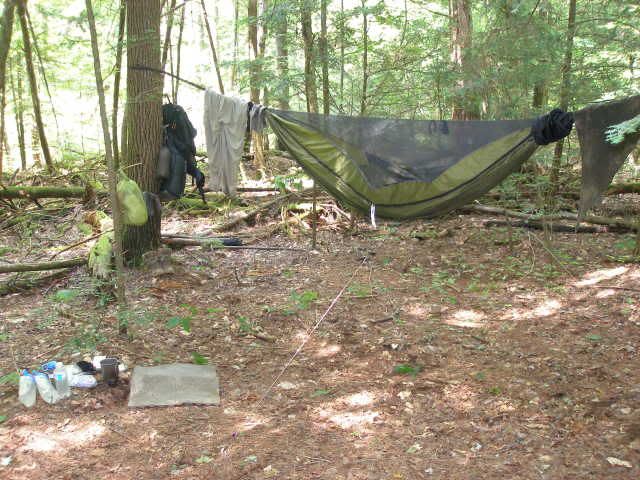
Within half an hour, my hammock was up, I was bathed in the creek, and kicking back in luxury. The healing power of my hammock was evident. Before my spirits were leaning toward miserable. Now I was swaying on the happy side of misery, lyrics in my head declaring life is good today.
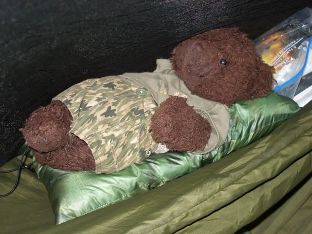
Dewey Bear stretched out on my new HammockGear down pillow in his teddy hammock, the gear loft of my Warbonnet Blackbird.
I read for a while and drifted off to sleep.
Sunday, May 29, 2011
I slept later than I had intended. I didnt actually get moving until nearly 9 AM. I only had 12 miles planned for the day, but I would have to get creative to camp near the gravel road up on Laurel Ridge. I new it was pretty brushy in places and I would be challenged to find water any where near the only water source in that area. Now the late start meant I would have to hike in the hottest part of the day on the open road as well.
At least the trail would be mostly level and I figured I would make good time. It wasnt meant to be. The trail was incredibly muddy. In some places I could skirt the edge. In other places, the mud was only maybe a quarter inch on top of rock. This turned out to be even worse, as it felt like I was sliding on greased sidewalk. I fell 3 or 4 times during the morning. The trail was taking its toll on me.
Dewey and I were glad to take a mid-morning break near a small stream, where Dewey examined the remains of a crusty crustacean.
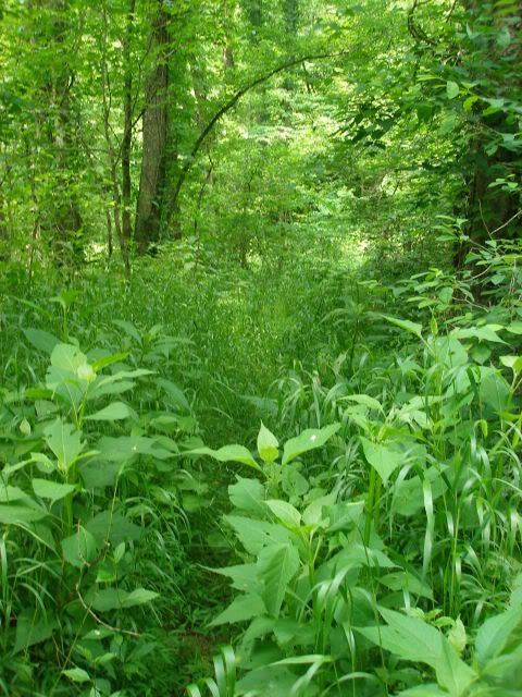
The trail became brushier and rougher as we continued on.
Around this time, I began to doubt whether I wanted to spend most of my June hiking the whole trail. Big South Fork had been among the nicest parts of the trail I walked 4 years earlier, and it was in noticeably worse shape than it had been on my first walk.
In order to avoid hiking the open road in the now steamy heat, I hung my hammock during lunch and relaxed for about a 2 ½ hour siesta.
Around 3:45 I pushed on up the trail. I decided I wasnt going to thru-hike. I would alter my time table as well, shortening my daily mileage so I wouldnt need to hike in the worst of the afternoon heat, which was nearly record setting for this time of year in southern Kentucky. Almost immediately, I began to enjoy the hike more, noticing the remarkable formations around me.
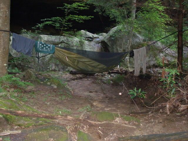
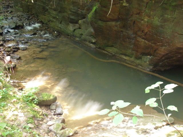
When I reached Mark Branch Falls, nearly 4 miles short of my goal for the day, I knew I had found my camp for the evening.
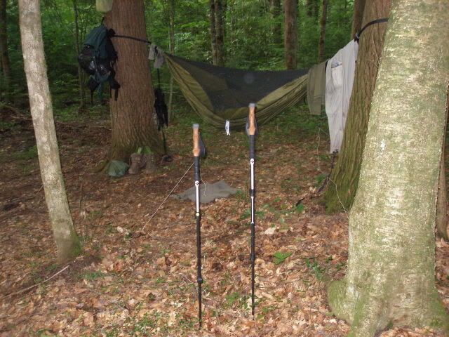
I found a couple of trees, about 17 feet apart, and they made for an excellent hang.
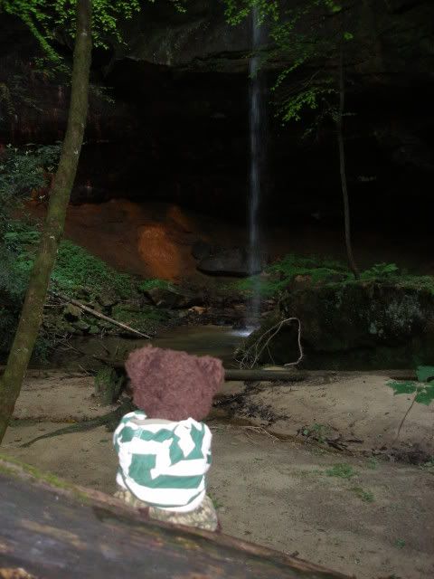
Dewey rested on the wooden steps nearby, enjoying the falls as I hung the hammock.
Personally, I was pretty fond of the view from my hammock.
I cleaned up in the splash pool, and cooked dinner. The evening drifted away as I read and listened to the sound of the falls.
Monday, May 30, 2011
I was moving by about 8:15 hoping to finish the road walk before the worst of the heat beat me down. The climb up to Laurel Ridge Road was fairly mellow. Once I reached the road, I headed to the privy at the Peters Mountain Trailhead. A campers dog barked at me, but otherwise I was able to enjoy a sitdown grumpus.
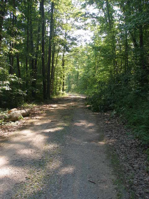
Then I headed up the 4 ½ mile road walk.
I got a phone signal and I contacted my wife, telling her to meet me in Whitley City on Wednesday instead of Cumberland Falls State Park on Thursday as we had originally planned. My days were getting shorter, and my pleasure in walking was getting longer. The road walk was reasonably comfortable with shade from trees in the morning light. I stopped for an early lunch break near the stream where I had planned to camp the night prior. I could have managed a hang maybe 50 yards up the ridge and out of sight, but I was glad I stopped at the falls. Along the entire road walk, I did not encounter a single vehicle or person.
Pushing on, I turned off the road and headed along the brushy ridge for another couple of miles. Then I headed downhill to a small creek. The heat had picked up and I was overjoyed to find a beautiful little campsite just as I crossed the creek. It was only 1:30 and I would normally have put in at least another 4-5 miles to the next water source, but I was in no mood with a heat index around 100.
I settled in and made myself a fine camp for the evening.
After washing up and relaxing, I settled in to read to Dewey. I enjoyed that camp immensely.
Tuesday, May 31, 2011
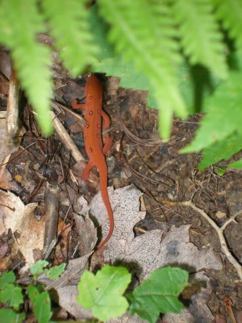
I was off and moving by 8 AM this day, and pushing on solidly. A number of orange salamanders greeted me as I climbed up to the next ridge.
The ridge passed by quickly and I joined the paved Beech Grove Road for a quarter mile. Then I turned off to an old forest road, now used mostly by ATVs, as evidenced by the massive quagmires along the way. As I headed downhill, the air seemed to cool a bit, until I crossed a small creek near a cave mouth. Dewey and I stopped here for a luxuriously cool break.
Then I pushed on. The trail became rougher as I approached the Rock Creek/Big South Fork junction.
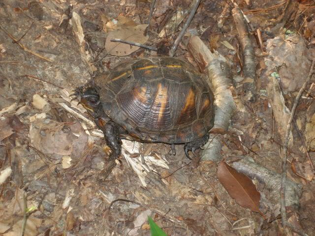
Mud and brush combined to form a navigation challenge, though it was made easier by occasional turtle blazes.
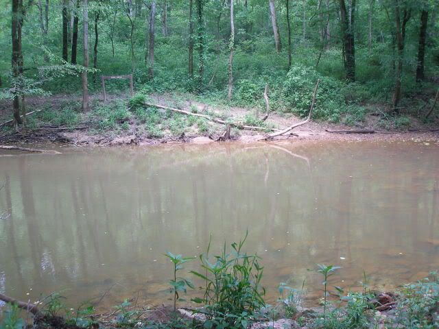
Then I reached the final Rock Creek crossing, this time a ford that required wet boots. My feet were already slogging wet from mud, so I simply waded in and crossed.
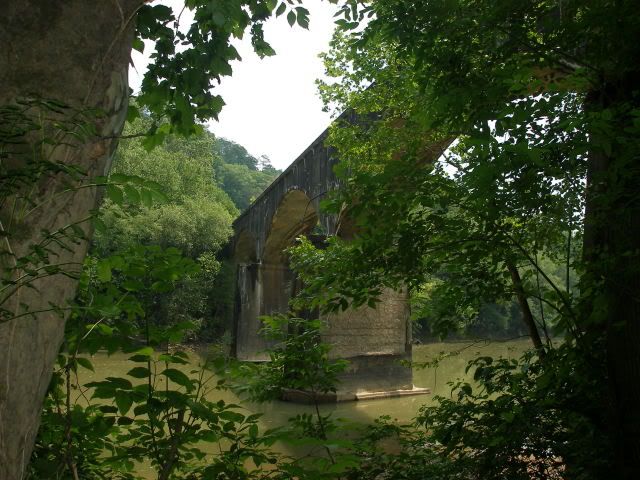
On the other side I was met with still more heavy brush. Perhaps 300 yards of bushwhacking later, I came to the K & T Railroad bridge over the Big South Fork.
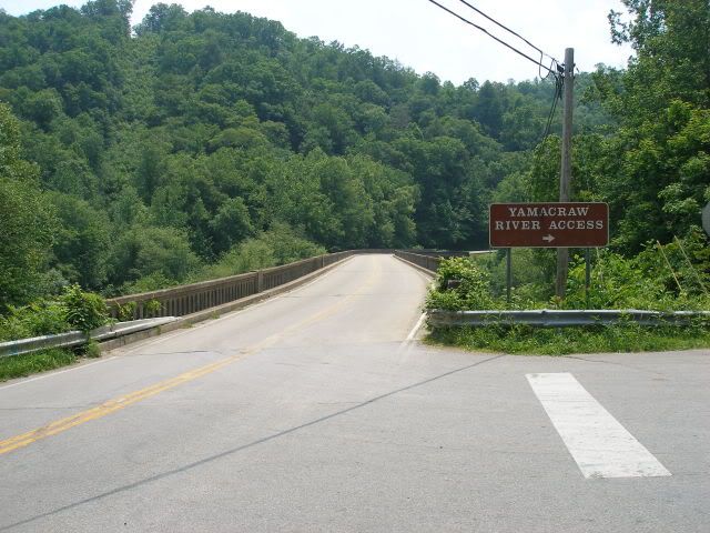
I had finally met the big river. I also met a steep graveled path up to the paved road that paralleled the outrageously overgrown trail. I took it gladly and walked the ¾'s of a mile to where the ST came out next to Yamacraw Bridge.
The bridge offered very little shoulder, but I had to cross it, stepping up onto the little step to get out of the way of oncoming traffic. One car made no effort at all to move over and honked the horn as it drove past. Others were more courteous and gave me a bit of room. Once I reached the other side, I quickly heading down and rejoined the trail, now running alongside the Big South Fork.
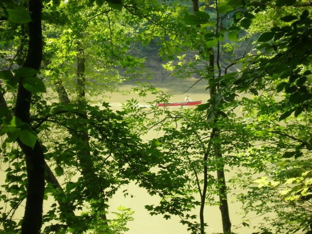
The trail was smooth and relatively fast. Of course once I got into a groove, I would encounter a string of blowdowns. Dewey, who is usually a good motivator for me, snapped. Why is it that this trail cant ever be easy for more than a quarter mile at a time?! he shouted. I promised we were getting close to our camp for the day and we moved on. Sure enough, after a mere 3 miles, we crossed the double bridge over Negro Creek and a beautiful swimming hole I would use after camp was set up.
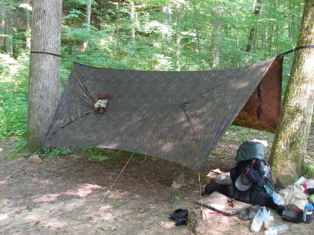
Perhaps 100 yards later, Dewey and I settled into a decent wide shelf above the Big South Fork. As I set up camp, Dewey watched a couple of canoes float by.
With patchy clouds in the sky, I set up my new Warbonnet digital camo Superfly Tarp.
Dewey joked about my not being able to see him as he kicked back on the tarp.
It was perhaps 2:45 and I was done for yet another day. Most evenings, I rested in the hammock with no underquilt until it was time to go to sleep. On this warm evening, I slept with no underquilt the entire night. It felt great.
Wednesday, June 1, 2011
I was up and ready to go early on. The Big South Fork was socked in with a bit of fog. I could have followed the Sheltowee Trace for another 10 miles to US-27. Then I would have to hitch-hike 5 miles to Whitley City.
Or I could hike up the Negro Creek Trail a couple of miles to KY-700 and walk it about 3 miles directly into Whitley City. I chose the second option.
Dewey was his usual drowsy self first thing in the morning while I packed up.
I stepped off about 7:45 and headed uphill. The trail criss-crossed ATV trails in several places and it became difficult to tell which was which. But they all led in the same general direction, and I continued on. One of a number of turtles on the hike greeted us as we crested the ridgeline.
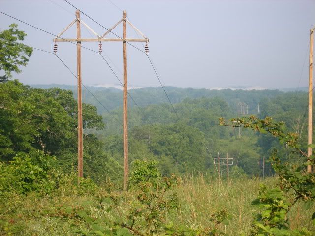
At a powerline break, we looked back to the west, fog still visible in a line above the Big South Fork.
Shortly after, I reached KY-700 and I began the walk into Whitley City. The road offered a quiet walk for the first couple of miles, then I entered a residential area, complete with the occasional barking dog or passing car. I stopped at a country store for a sausage biscuit and perhaps the best tasting Coke of my entire life. A quarter mile later brought me to US-27 on the northern edge of town.
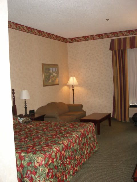
I walked another half mile to the Executive South Fork Inn. The lot was deserted at 10:30 AM. I hoped I could get into a room early. The young lady behind the counter graciously booked me into a huge room with great AC and an awesome shower. Dewey Bear kicked back and watched Cartoon Network while I cleaned up.
An hour later, my wife arrived and I felt like my hike, while no longer a thru-hike was a great success.
Thursday, June 2, 2011
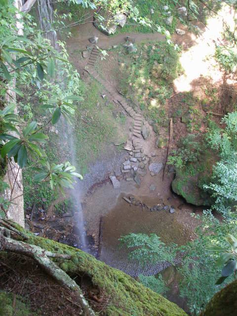
The day offered possibilities for seeing more highlights of the Sheltowee Trace without all the brush, and bugs, and less heat. My wife and I drove down to the Yahoo Day Use Area and wandered down to see Yahoo Falls. It was flowing nicely.
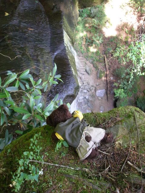
My wife, 7 months pregnant, decided she was not in the mood to hike down to the bottom of the falls. She began to walk back to the car, while daredevil Dewey sneaked a closer pick at the top of the falls.
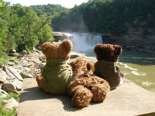
From there, we headed another 20 miles up the trail to Cumberland Falls State Park. The ST wanders right past it. My wife and I, as well as Deweys buddies, enjoyed the falls greatly.

I already had plans for more hikes this summer, with less mud and brush, and cooler temperatures at higher elevations. My hike had turned out pleasant due to shorter miles and adjusted expectations. Now I was ready for new scenes in the mountains.


 Reply With Quote


Bookmarks