


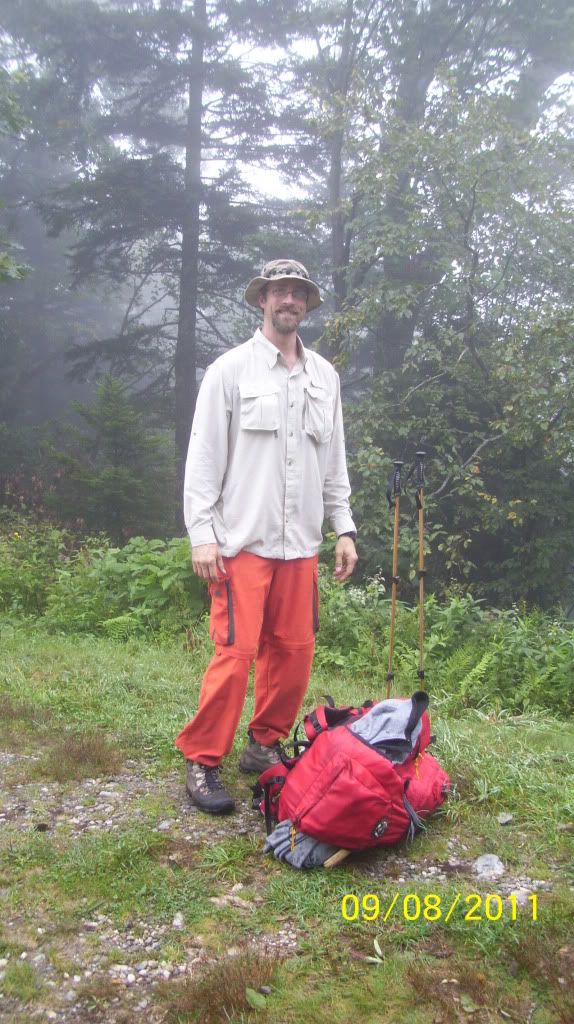
HB and I did section 3 of the Art Loeb Trail some time ago and finally got around to finishing this wonderful beast. Sections 1 & 2 together are
about 20 miles which doesn't seem like much for three days but the Art Loeb Trail is about as tough as it gets, trust me!
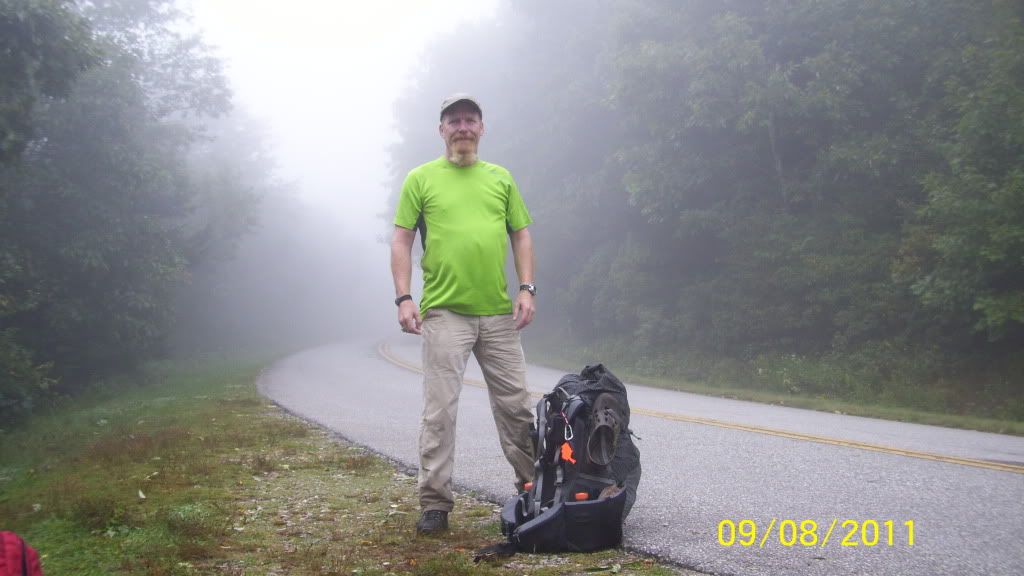
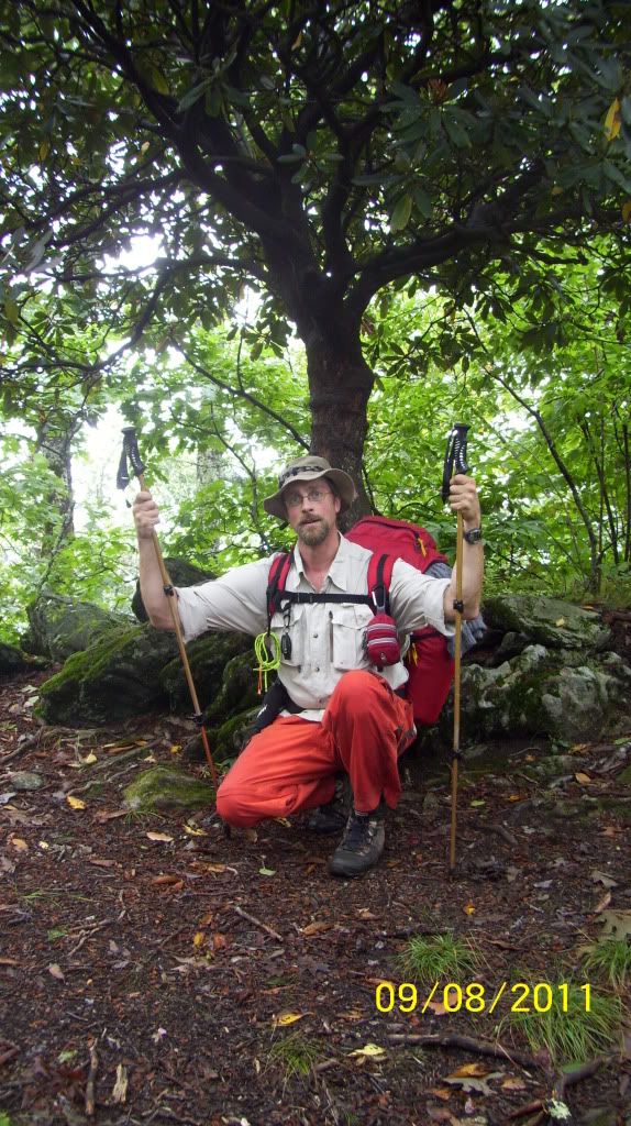
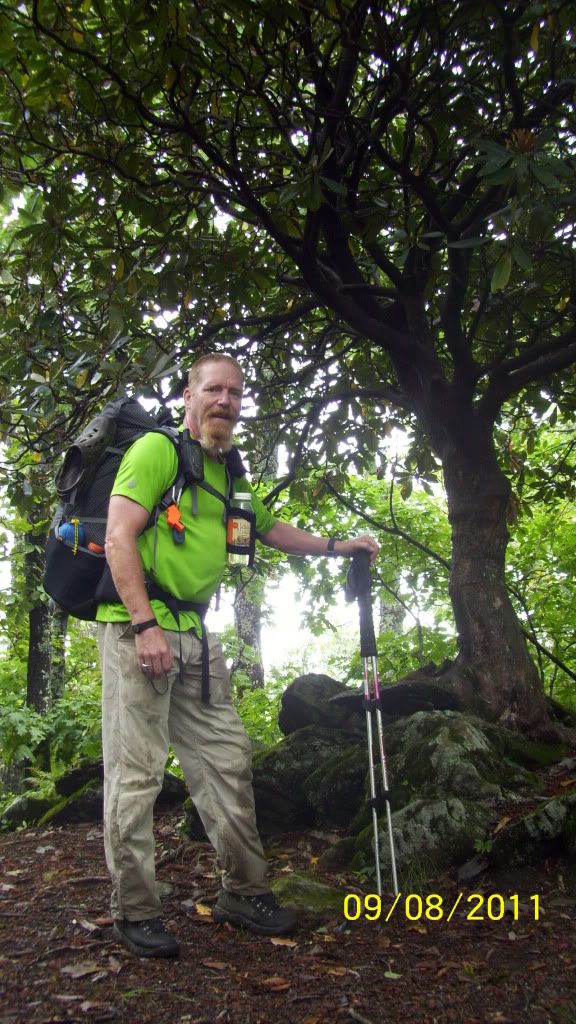
Mama Bear was kind enough to drop us off at the section 2-3 trailhead up in the Black Balsam Knob area. It was a brisk 55* and a thick fog/cloud
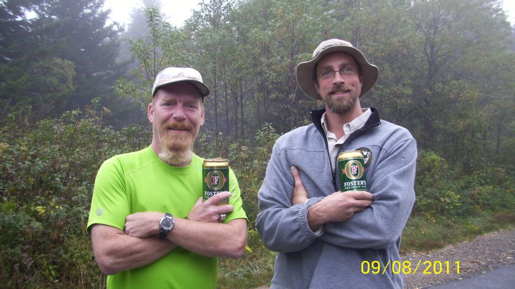
cover. We found two Foster children and decided to take them along for the hike (well maybe).
It took us over an hour to make the Blue Ridge Parkway (1.4 miles). Art made no bones about telling us what the rest of the hike was going to be
like. Rocks and roots, trail becomes the stream becomes the trail becomes the stream, nearly vertical drops down eight to ten feet of slippery
moss covered rocks. At times we just had to laugh.
Once below the Parkway the trail was not nearly as steep but was quite over grown. We were soaked within several hundred yards. It wasn't
until we reached Farlow Gap (11:15AM) that we saw the first hints of sunlight.
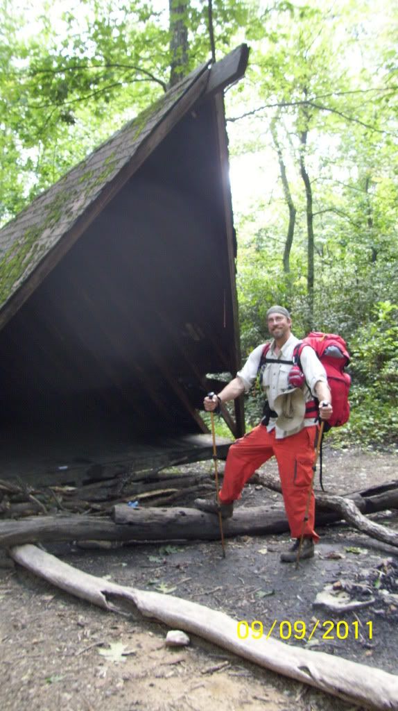
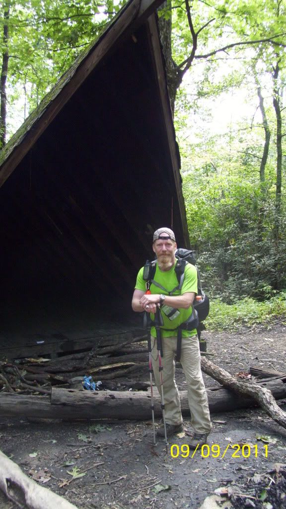
We reached the Deep Gap Shelter at ~12:45 and had ourselves a hardy lunch and refilled our water bottles as water sources are at best
unreliable. The "reliable" water source at the shelter was a mere trickle.
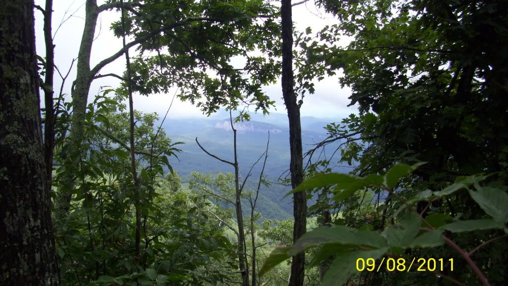
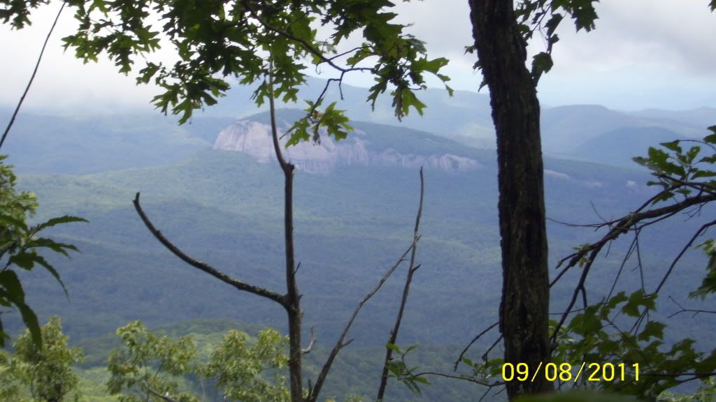
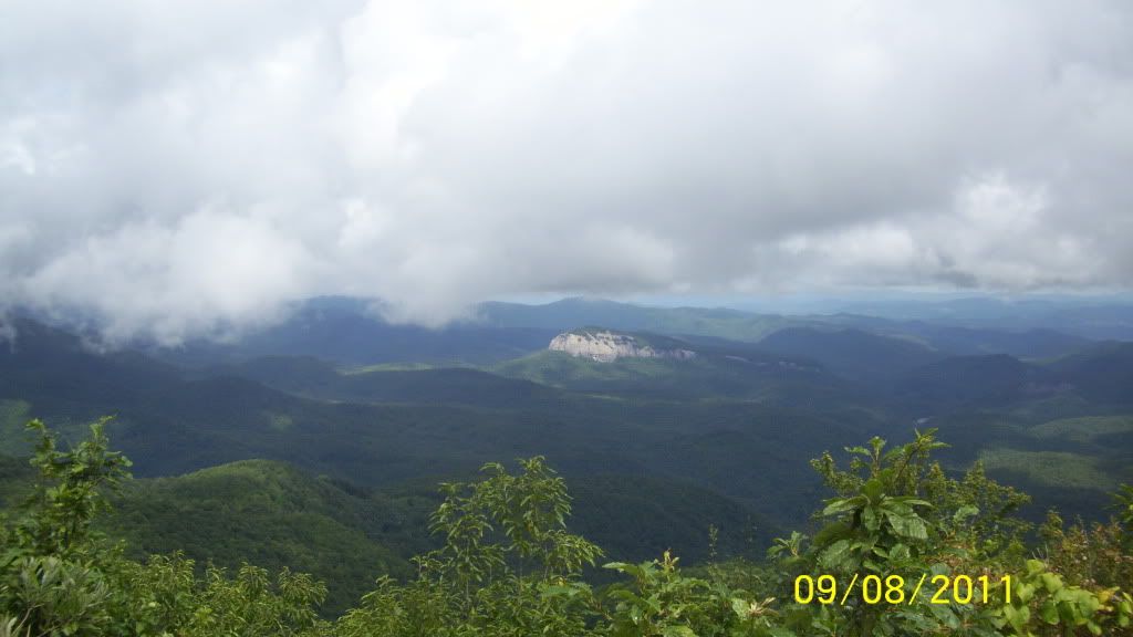
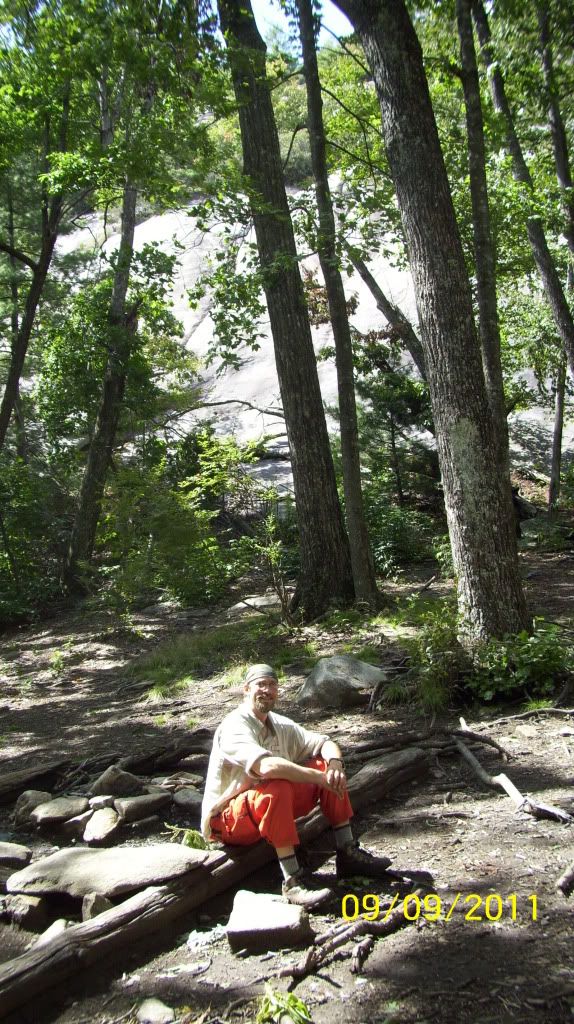
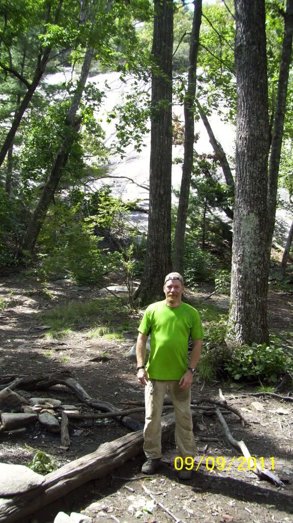
I neglected to get pictures at the shelter. Here are a few pics of Looking Glass Rock on the way to Pilot Mountain.
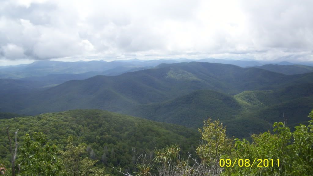
We had a nice heart thumping climb to the summit of Pilot Mountain. Here is part of the 360* view.
As you can see, we're still above some of the clouds.
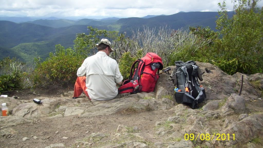
We reached our goal, Gloucester Gap, by 3:30PM, hiked about another mile and then departed the trail on FSR 471 another seven tenths of a mile
to a water source I had previously noted on a recon trip. (It was a wise choice. Once back on the trail the next morning we didn't see any
water sources for miles.)
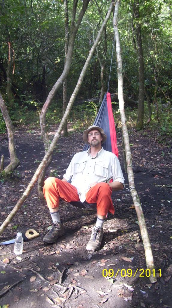
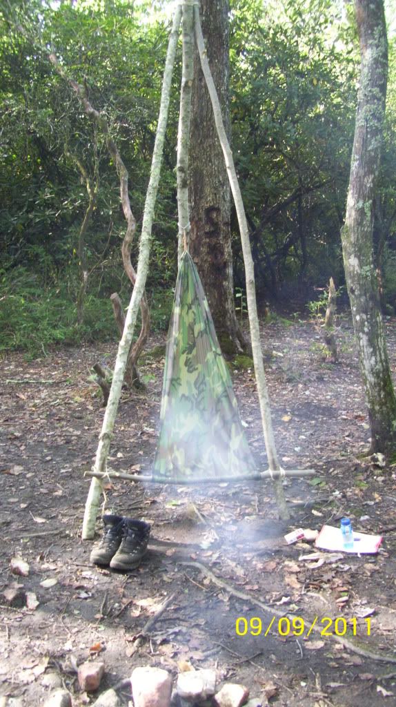
We set up camp, gathered fire wood, made our bushcraft chairs and settled in for
a nice hot meal and great campfire conversation.
Friday morning we had a nice warm fire, a nice hearty breakfast, broke camp and started out on our second leg.
We hiked over Chestnut mountain, through Low Gap, reached the Butter Gap Shelter around 2:30PM, and had lunch.
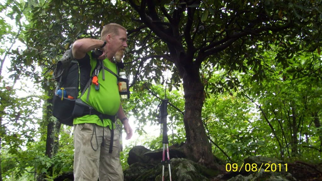
Lotta switchbacks happening. Art doesn't miss a rock, a root, or any hill/mtn he can take you over!
The hike up along Cedar Rock Mountain is grueling. Pretty much straight up - no breaks.
At the top of the trail, Cedar Rock still towers hundreds of feet over us.
The trees at the top of these pics are only the beginning of the top of the pluton.
We marched another three and a half miles and came upon a nice campsite at about 5:30PM.
It was at this point we realized we had somehow missed the last reliable water source
till the trails end. NOT GOOD. Between the two of us we had just over two liters of water for
dinner, breakfast, and the next day's hike out.
After much consideration we decided to detour Saturday morning onto the old Art Loeb Trail, now called the connector trail.
This trail makes a bee-line for water.
We made the best of things and went about our normal camp routine. Made a nice dinner. Had some great camp conversation
and went to bed thirsty.
(sorry - no pics. We were now in survival mode)
We had about a half liter of water each when we broke camp early Saturday morning.
No breakfast, no coffee, just lite out in search of water.
Fortunately we found water a half mile down the trail. We had made the right decision the night before to look in earnest
for water the following day. The water source was along a downhill part of the trail, that went on for another mile, in a mostly
boggish setting. Not a pleasant place to make camp.
The rest of the hike out was a pleasant stroll along the Davidson River back to the car. We headed back to Hendersonville
and had a voracious meal at Hannah Flanagan's.
Many a beer was hoisted to Art and his wonderful trail.
Thanx for reading!
Happy Trails!


 Reply With Quote


 Can't understand why they seem to die so young


Bookmarks