


Summer is here, snow is gone from all but the highest areas and it's time to get together for a hang.
Date: July 12-14
Location: Independence Lakes Link to Map of the lakes Link to map of trail head to lakes The trail head is on the east side of the campground. A small campground is across the creek from the parking lot and bathroom. At the far side of the CG is the trail head headed due east for the first part.
The area can be accessed from the west near Oakley(due south of Burly) or from the east near the town of Malta. In either case the roads on top of the mountain are a little confusing and a GPS will come in very handy to find the trail head.
The Trail: The trail is approximately 4 miles long with 1200-1300 feet of elevation gain. The trail begins with a slight climb to the east out of the campground then hooks to the SW and climbs a number of switchbacks to the first of 4 lakes.
Fishing: Both the first and second lakes have ben regularly stocked with Greyling and Cutthroat in the past and should be fishing very well this time of year.
The Plan:
I will be driving up early Friday morning and hike out from the trail head as soon as I arrive. I may be bringing one or both of my boys, 6 & 9 years old and possibly my wife. So this will be a family friendly event. We will camp along the edge of one of the first two lakes with out camp site easy to find.
Hiking in will be on our own rather than trying to coordinate getting to the trail all at the same time but I will be shooting for starting the hike between 10-11AM. Meals will be every man for themselves....yes a little bit of Independence for each of us.
Everyone is welcome, plenty of trees in the forest.
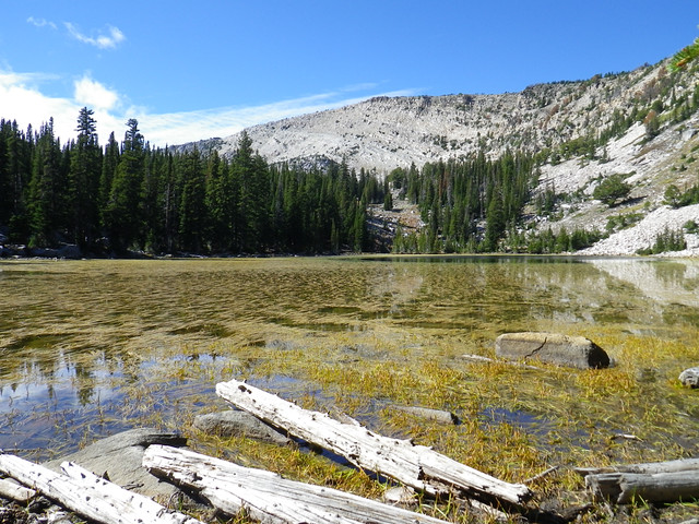
Pic of the first lake


 Reply With Quote


Bookmarks