


4th of July weekend, I had planned on doing a section hike of the PCT from US 50 (Echo Lakes) to I-80 (Donner Summit) along the west side of Lake Tahoe. 3 days, 65 miles, solo, should have been doable. I had planned to go ~26 miles the first day to Lake Richardson - after about 15 miles, trees are supposed to be pretty sparse till that lake. Day 2, shorter to just before Granite Chief/Squaw Valley. Day 3, 21 miles to I-80 (even though the rest stop next to the trail has been under construction for seemingly 3 years).
For 3 weeks leading up, I kept checking the snow sensors. 4" of snow was melting a day at the sensors. The only sensor with snow was the top of Squaw, where they still had about 36" of snow July 1st. Not prepared for that, I planned a bail out, camp a little earlier on the first day and take the Tahoe Rim trail where it forks off the PCT to Tahoe City where my wife and daughter were camping for the weekend. That was the plan.
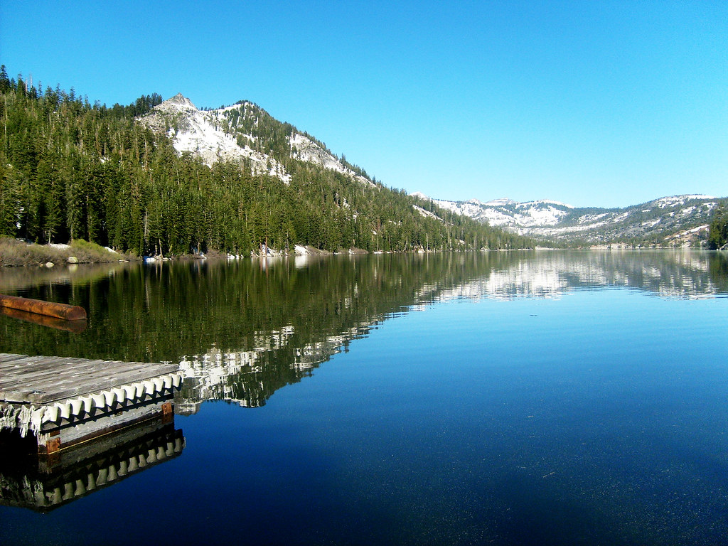
Saturday, July 2nd, we took off bright and early and drove up US-50 towards South Lake Tahoe. I got to Echo Lakes at about 8:15am and set off on a great, clear, cool day.
There were a number of people who took the water taxi, but I didn't, and never saw them again. I took off around the lakes.
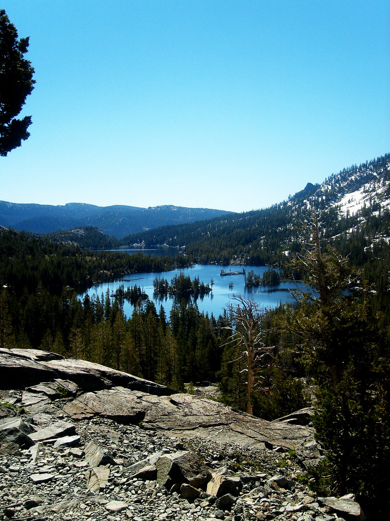
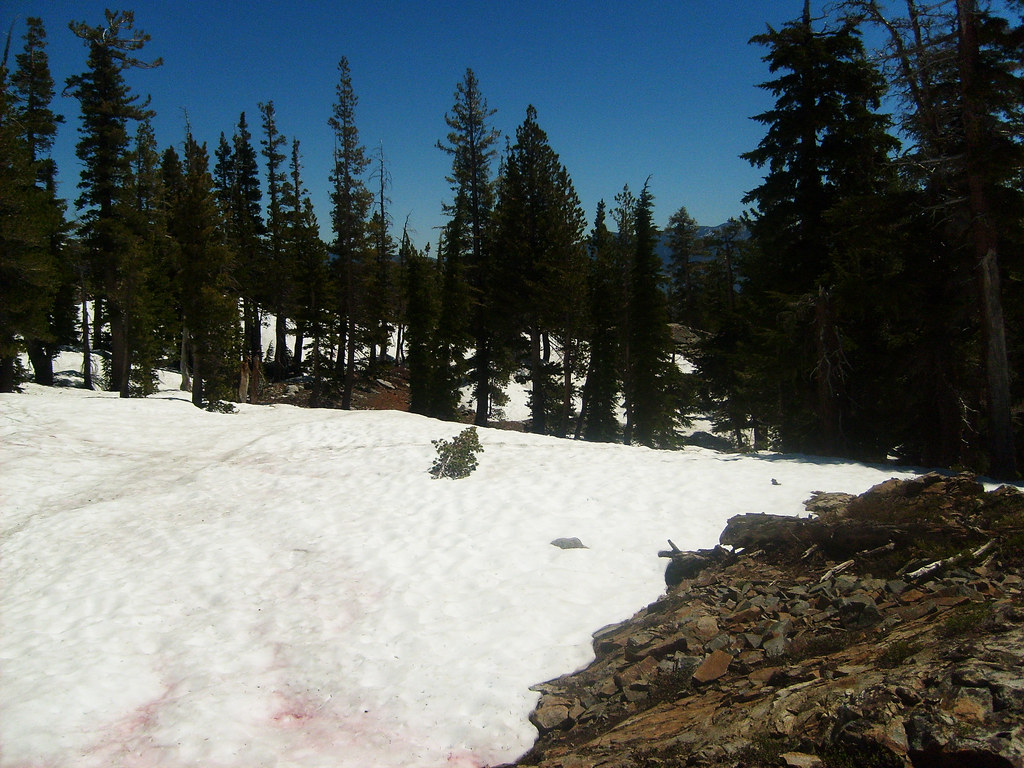
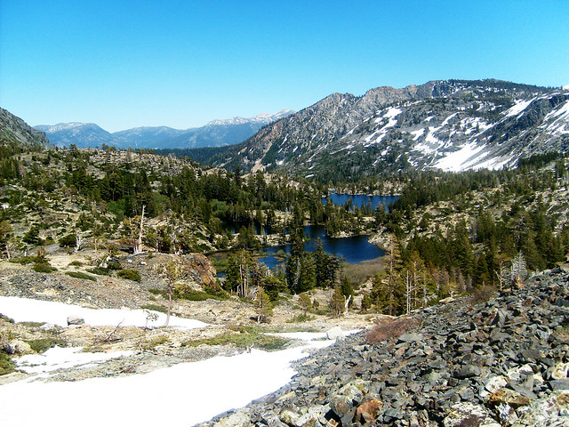
After the end of Upper Echo Lake, the troubles started. At 10am, and about 7500', there was snow. Not a little snow, vast snow fields about 8' deep, which I wasn't prepared for. And it kept going and going.
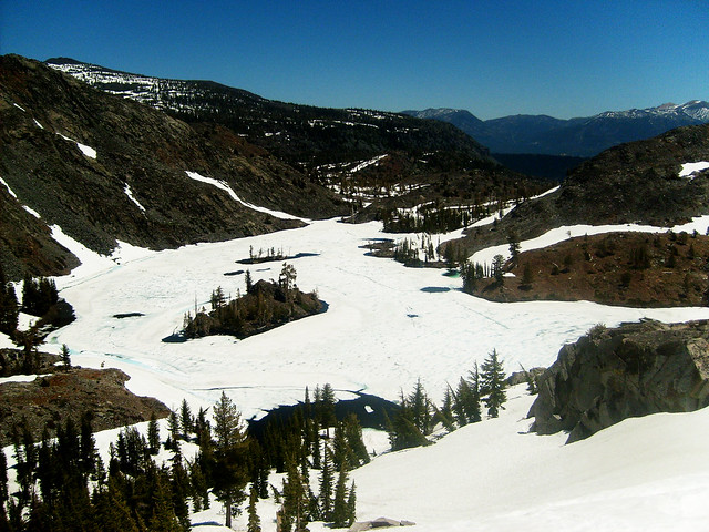
With a map and compass, I kept reasonably close to the trail, getting a bit off and ending up and Lake Lucille, which is supposed to be a quarter mile side trip off the main trail. Met 3 guys that were eating breakfast and deciding to go back instead of onwards to Lake Aloha - as someone had told them it was snow covered. My plans didn't call for that, so across the snow in light trail runners I went. Their report wasn't joking. Aloha was 100% covered by snow. At this point, I'm getting sick of snow and decide that I'm not making it to Tahoe City, taking the trail to Eagle Lake/Emerald Bay after Dicks Pass is a good idea!
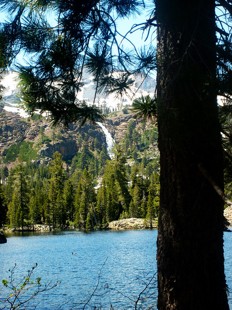
After passing snow covered Heather Lake, it's lunch time, and melt/boil some snow to drink. Heather Lake is somewhere around 7900'. And it's at this point: melting snow, eating lunch, and having no idea where the trail actually is, I hatch my last scheme. Dicks pass is over 9100', so I figure it's gonna be a lot of crappy snow. There's a stream out of Heather Lake that goes to Grass Lake and Fallen Leaf Lake, and civilization. I throw in the towel and bail, following the stream down out of the snow.
Final total: 24 miles, 0 nights hammocking on the trail. 2 nights hammocking in the campground, so not a total loss
Thanks for reading my crappy story


 Reply With Quote


Bookmarks